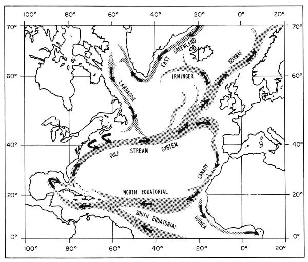
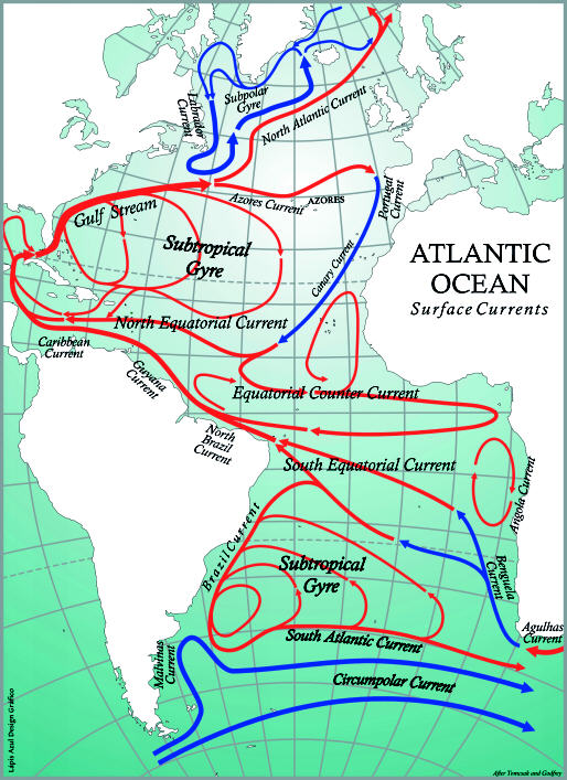

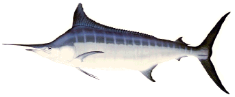
Left, satellite image of the Gulf Stream and its large meanders or eddies called gyres.� This image shows sea surface temperature distributions in the Western North Atlantic Ocean.� The warmest water (shown in this false color image as dark orange) indicates the path of the Gulf Stream up the U.S. East Coast and then bending out from the area off Cape Hatteras, NC, into the Atlantic towards Europe. The largest pelagic fish (e.g., blue marlin, swordfish, bluefin tuna and white marlin) concentrate along the edges of this current and other major surface currents shown above because their prey is most concentrated in such areas.
Spawning and Nursery Area Maps
Bluefin Tuna, Swordfish, Blue Marlin,
White Marlin, Sailfish
Critical Habitat Maps
Blue Marlin, White Marlin
Longline Catch and Effort Maps
1994-1997
Atlantic Population Declines - the Facts
Headed for Extinction
Swordfish, Marlin, Sailfish,
Bluefin Tuna, Sharks
Endangered Species Act
White Marlin Listing Petition
List of All Pages on this Website
Home
9814 Kensington Parkway
Kensington, Maryland 20895
(301) 949-7778